
Natural Hazard Identification and Characterization
The first step in managing risk is understanding the hazards that may affect infrastructure or a geographic area. We conduct natural hazard identification and characterization studies using historical records, monitoring data, maps, digital terrain models, geological and hydrologic information, and previous studies. We analyze the frequency, intensity, extent, duration, and potential scenarios associated with each hazard. Depending on the project’s characteristics, we may consider hazards such as:
- Riverine and pluvial flooding.
- Flash floods and exceptional flood events.
- Earthquakes and seismic hazards.
- Landslides and slope instability.
- Erosion and land degradation processes.
- Extreme weather events.
- Droughts.
- Wildfires.
- Combined natural hazards or multi-hazard scenarios.
The outcome is a characterization of the hazards relevant to the project, providing the foundation for subsequent risk assessment stages.
Flood Hazard Studies
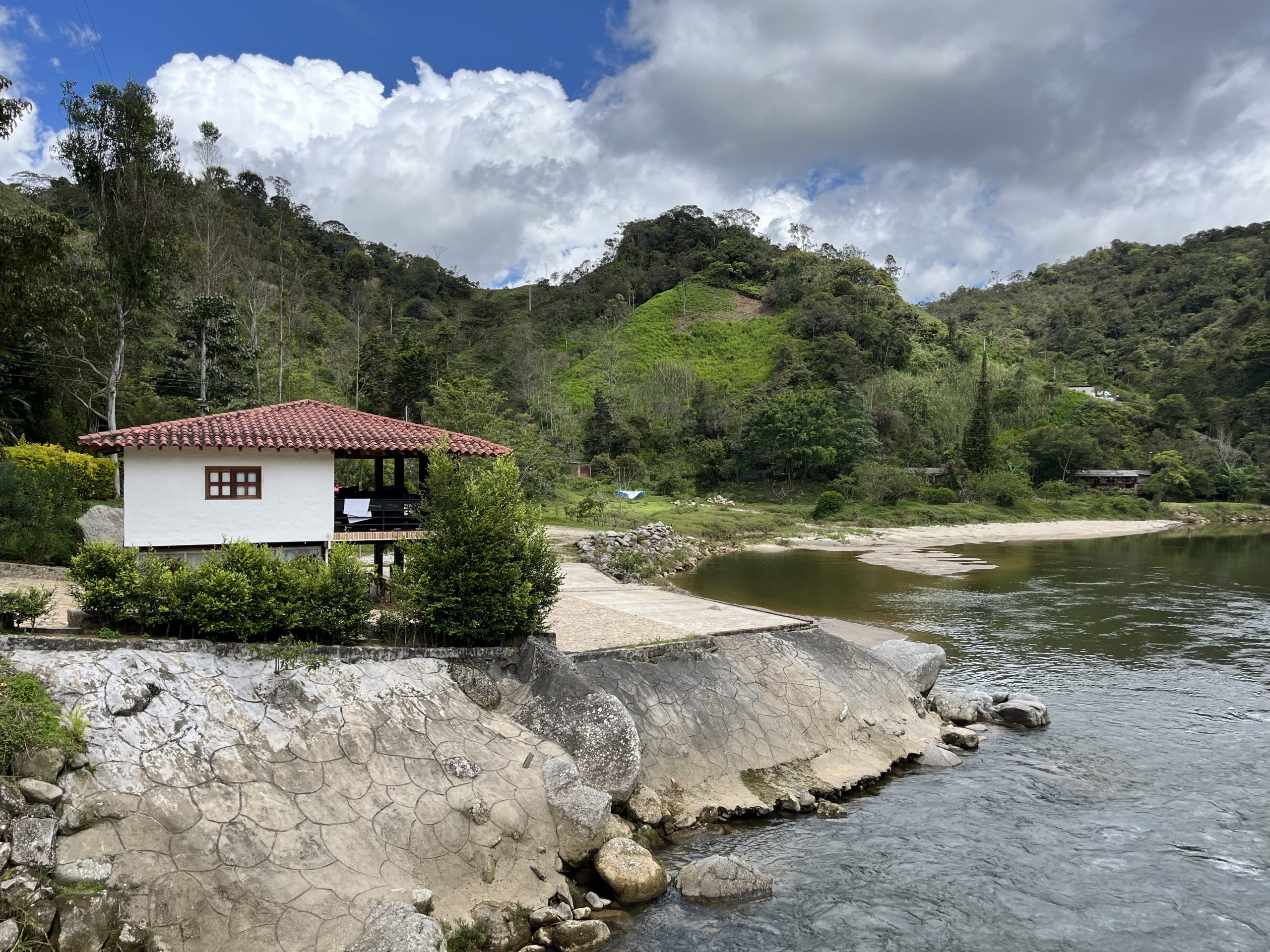
We assess flood conditions at different scales—infrastructure, watershed, and municipality—for both current and future hazard conditions, considering climate change and the potential implementation of mitigation works within the hydraulic system under study. To do this, iVantise develops properly calibrated two-dimensional hydraulic models that reproduce the system’s physical behavior, simulating different hydraulic scenarios across a wide range of hydrologic conditions and an appropriate range of return periods. Analysis of the results, including flood extent, water depths, and flow velocities, provides a detailed assessment of flood conditions and produces flood inundation and hazard maps for the study area.
These studies can include:
- Hydrologic analysis of design events and extreme floods.
- 1D and/or 2D hydraulic modeling of channels and floodplains.
- Delineation of flood-prone areas by return period.
- Classification of flood hazard maps.
- Assessment of water depths, velocities, and hydraulic conditions.
- GIS-based flood inundation mapping.
OUR SERVICES
-
Surface Water Hydrology
We provide advanced surface water hydrology services for urban and natural environments using rainfall-runoff modeling software. We apply established methodologies to estimate flow rates, water balances, and flood frequencies, supporting water resources planning, infrastructure design, and flood risk management.
- Hydrologic analysis of design events and extreme floods.
- 1D and/or 2D hydraulic modeling of channels and floodplains.
- Delineation of flood-prone areas by return period.
- Classification of flood hazard maps.
- Assessment of water depths, velocities, and hydraulic conditions.
- GIS-based flood inundation mapping.
-
River Hydraulic Modeling
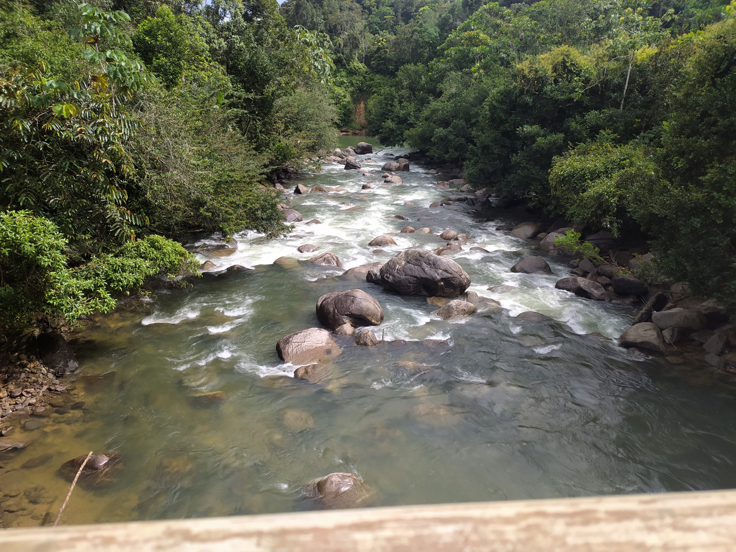
We conduct 1D and 2D river hydraulic modeling to simulate the behavior of rivers and flood-prone areas under different scenarios, including climate change scenarios. Using specialized software, we assess water levels, velocities, flood extent, and impacts on structures to refine risk assessments, optimize flood defenses and drainage infrastructure, and develop hazard maps.
These studies can include:
- 1D and 2D hydraulic models for unsteady flow.
- Simulation of floods and design scenarios.
- Analysis of cross sections, water levels, and velocities.
- Assessment of the impacts of construction works and other interventions.
- Generation of flood inundation maps.
- GIS-based flood inundation mapping.
-
Watershed Management
We provide integrated watershed management services in riverine, rural, and urban environments, treating the watershed as a planning unit for addressing natural processes and human pressures. We combine hydrologic and hydraulic modeling with scenario analysis to propose structural and nonstructural measures, flood risk management plans, and ecological conservation and restoration strategies.
These studies can include:
- Hydrologic and environmental assessments of watersheds.
- Identification of issues and pressures.
- Watershed management and land-use plans.
- Proposals for structural and nonstructural measures.
- Flood risk prevention and mitigation strategies.


Risk Narrative
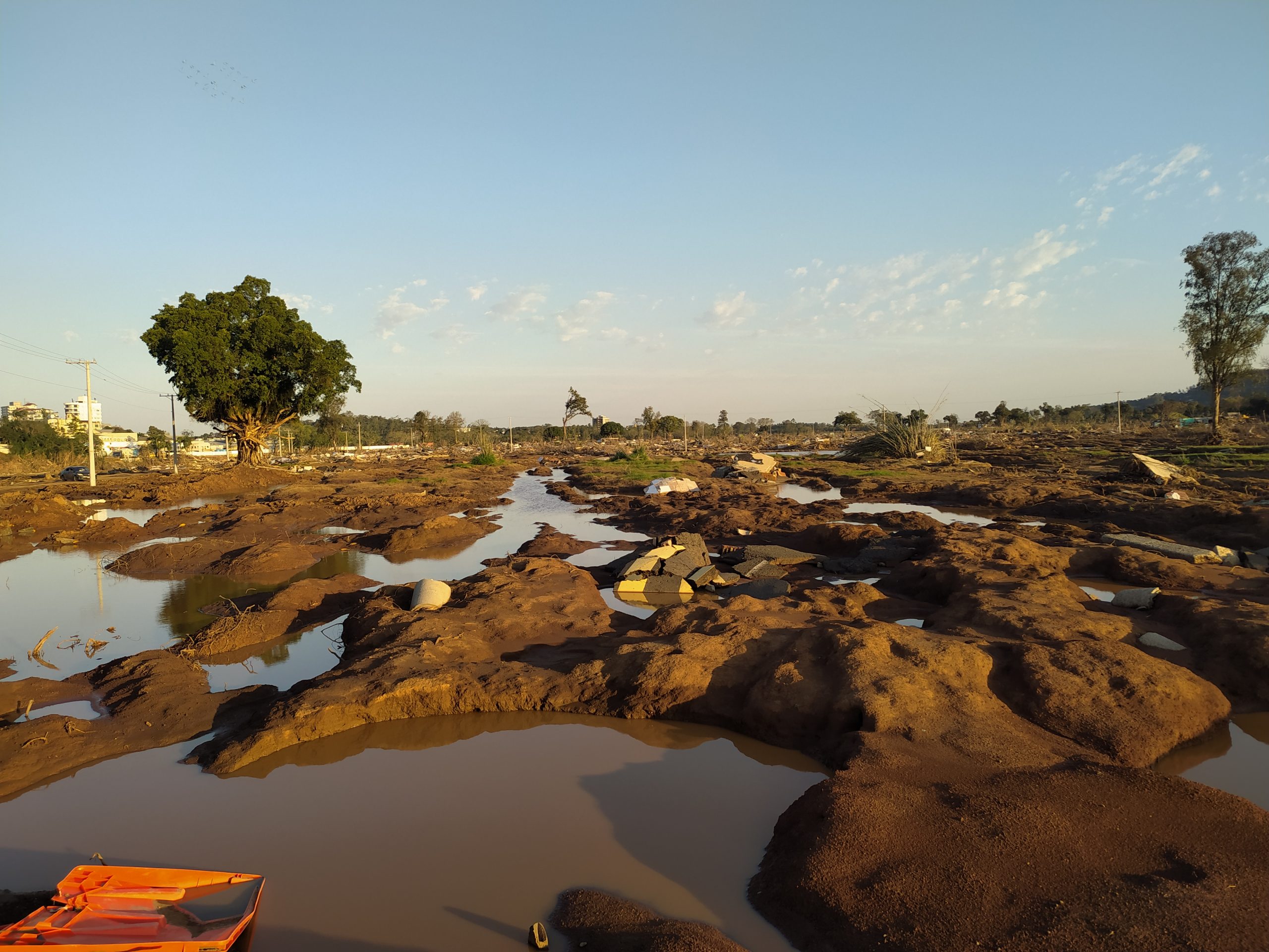
A disaster risk narrative is a brief, simplified qualitative assessment conducted during the early stages of project preparation, when basic information is available. Its purpose is to determine whether the project concept adequately addresses the reduction of current and future residual risks.
The risk narrative translates analysis results into a clear, structured account connecting hazards, failure modes, exposure, vulnerability, and consequences. It aims to make risk understandable to all stakeholders—technical specialists, managers, and decision-makers—and facilitate consistent communication that supports decision-making. The risk narrative must also consider whether the project could increase or alter existing risk conditions within its area of influence, for example, by changing natural drainage, increasing population exposure, or creating new pressures on the surrounding environment.
To develop the risk narrative, we carry out the following tasks:
- Review existing studies and reports on disaster risk and climate change.
- Investigate relevant hazards.
- Analyze the project’s exposure and vulnerability.
- Analyze the project’s design considerations.
- Assess incremental risk.

The narrative must conclude whether the available information, studies, analyses, and designs are appropriate for the project’s risk level and, where applicable, whether a full risk assessment is required or whether developing a Disaster Risk Management Plan (DRMP) is sufficient. This plan will be progressively reviewed and updated during subsequent stages. The DRMP must include clear measures for each stage of the project lifecycle and identify those responsible for implementing and carrying out each proposed measure.